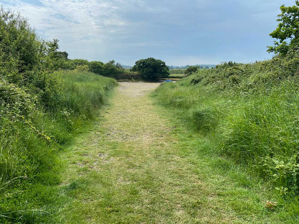
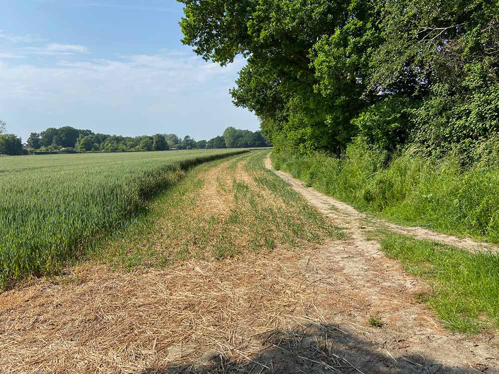
Thorpe-le-Soken is a picturesque village, set in beautiful rolling countryside and offers some great walks with spectacular views and a plethora of wildlife and flora to be found.
Within easy walking distance of the campsite there are over 11 miles of public footpaths and one bridleway. When these routes are linked with the public footpaths in other neighbouring parishes, they can complete a circular route.
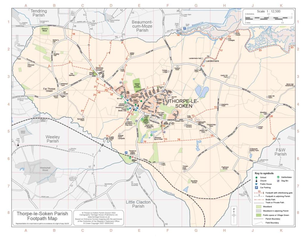
Thorpe-le-Soken Parish council recently published the Parish Map which is not only a useful map for the village, but also features the public footpath network. You can download a copy below or pick up a hard copy in the campsite office.
All users of the footpaths are requested to stick to the paths and not wander through the local farmers fields. Public Footpaths and Rights of Way are largely maintained by local landowners in Partnership with Essex County Council and the Parish Council.
Below is a list of the routes shown on the map:
Path No Route
1 Thorpe Green to Beaumont 2 Hill House Lane to Thorpe Green. (3/4 M) 3 Thorpe Green to Beaumont 4 Valley Farm to Beaumont 5 High Street to Valley Farm (Bridleway) 7 High Street to Landermere Road 8 Green Farm to Comarques 10 Comarques to Green Farm jcn FP 21 11 High Street to Weeley via Cradle Bridge 12 High Street to Mill Bank Farm jcn FP 11
Path No Route
13 Folly Farm to Damont’s Farm 14 Station Road to Thorpe Cross (1 M) 15 Elm Farm to Thorpe Park 17 New Hall to Landermere Wharf (3/4 M) 18 Tendring Road to Beaumont 19 Landermere to Beaumont Quay (3/4 M) 20 Sneating Hall to Kirby Cross 21 Green Farm to Barnard’s Farm 22 Short linking path at Comarques 23 Landermere Wharf to Kirby Quay. (3 M)
The Walk to Clacton Shopping Outlet via the Bridleway.
We are also located near the Kirby Backwaters ideal for bird watching.
Please ask at the office for further information.
Health Club
Lorem Ipsum is simply dummy text of the printing and typesetting industry. Lorem Ipsum has been the industry’s standard dummy text ever since the 1500s, when an unknown printer took a galley.
Lorem Ipsum is simply dummy text of the printing and typesetting industry. Lorem Ipsum has been the industry’s standard dummy text ever since the 1500s, when an unknown printer took a galley.
Lorem Ipsum is simply dummy text of the printing and typesetting industry. Lorem Ipsum has been the industry’s standard dummy text ever since the 1500s, when an unknown printer took a galley.
Lorem Ipsum is simply dummy text of the printing and typesetting industry. Lorem Ipsum has been the industry’s standard dummy text ever since the 1500s, when an unknown printer took a galley.